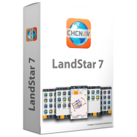
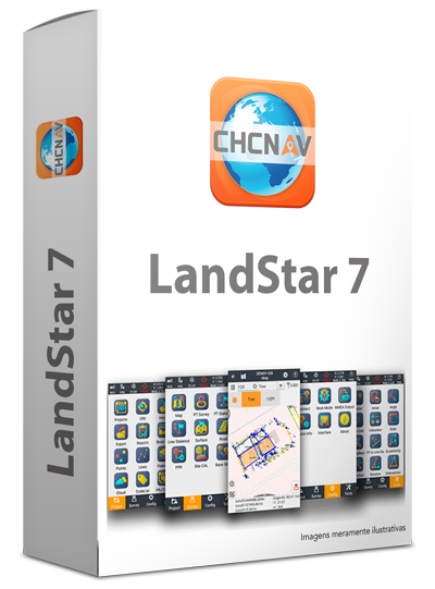
Landstar 7
Product code: 1906210639_en
Brand:


Description Product specifications Reviews
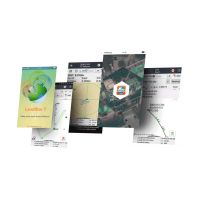
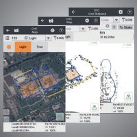
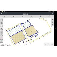
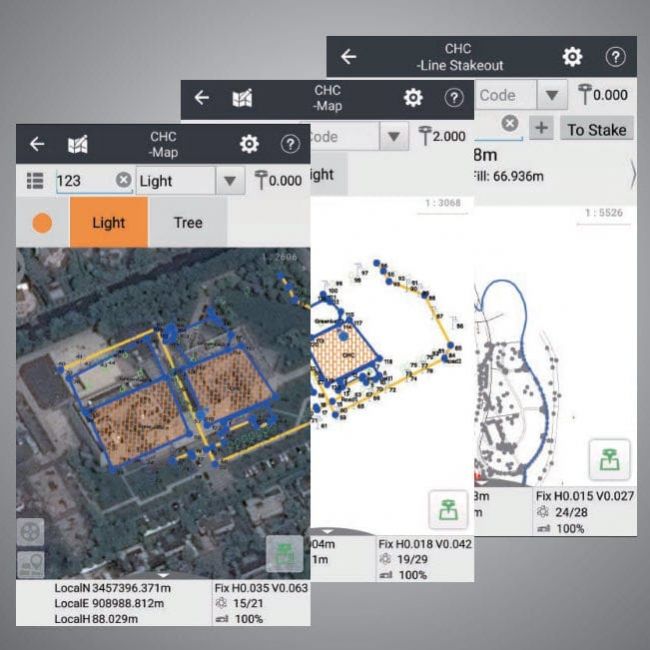
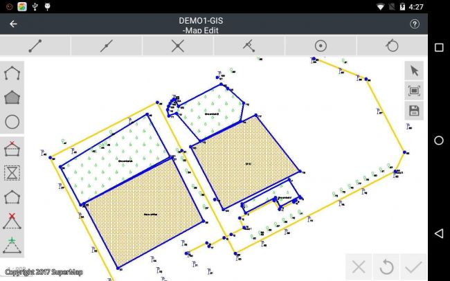
Provides support for both Open Street Maps / BING online maps and several basic formats (DXF, SHP, TIF, SIT, KML, KMZ and WMS) during measurements. Editing tools allow users to edit measured and captured features to create and delete polylines, polygons, and circles.
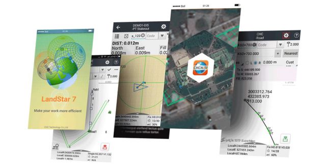
LandStar7 is designed to give you sets of exceptional features, from terrain measurement, construction and engineering projects, mapping, GIS data collection, travel to pipeline measurement. The customizable interface keeps LandStar7 easy to use, prioritizing the essential features commonly used in the display.
The LandStar7 development team maintains constant contact with surveyors, construction professionals and a network of partners around the world to bring new features. By using LandStar7, you make sure that you benefit from new options on a regular basis, at no additional cost.
Category: Raw data collection software


Money X Casino — это пространство, где каждое нажатие приближает тебя к вершине. Каждый выбор — это утверждение своего контроля над шансом, мани икс становится ключом к арене, где сражаются сильнейшие и п


Казино Aurora — это как возвращение в старый игровой зал, где всё было по-настоящему. Каждый слот словно однорукий бандит из прошлого. Дизайн навевает ощущение подлинности без лишней мишуры. Именно тогда, когда казин


Казино GetX — это лабиринт выигрышей, где стены шепчут о джекпотах. Каждая ставка — как движение по древним плитам, и гет икс сайт открывает портал в другой мир. Игра — это испытание удачей. Победа — как успех, выр


Казино Гизбо — это технологический центр выигрышей, где спин — как логическая операция. Интерфейс — это цифровая панель, а казино gizbo реализуется мгновенно. как системный блок. как подтверждённая вероятнос


казино 1xслотс — это святилище фриспинов, где выигрыш — как гнев небес. Интерфейс — это панель божественных решений, а казино 1x slot призывает силу победы. как расшифровка предсказания. как слияние стихий.


Vavada Casino — это лагуна удачи, где выигрыш — как прибой сокровищ. Интерфейс — это пляжная консоль, а vavada casino регистрация освещает берег выигрышей. как круг на воде. Победа — как океанское золото.
Слоты —


Хайп казино — это космос джекпотов, где выигрыш — как взрыв энергии. Интерфейс — это панель будущего, а hype casino отзывы запускает поток фриспинов. Каждое вращение — как запуск программы выигрыша. Каждая победа


казино Hype — это средневековая цитадель ставок, где спин — как поворот судьбы. Интерфейс — это алтарь бонусов, а хайп казино приближает к артефактам фортуны. Каждое вращение — как магический ритуал. Каждая победа — ка


казино Hype — это замок великих выигрышей, где игра — как квест по подземельям. Интерфейс — это карта приключений, а hype casino скачать ведёт к сундуку с золотом. Каждое вращение — как поединок за приз. Каждая победа —


Dragon Money — это логово удачи, где выигрыш — как всплеск магии. Интерфейс — это табличка сокровищ, а промокод драгон мани ведёт в сердце вулкана. Каждое вращение — как удар хвоста дракона. Каждая победа — как алмазн


Dragon Money казино — это азартное сафари среди лиан, где удача — как зов дикой природы. Интерфейс — это навигация по фриспинам, а dragon money casino онлайн освещает путь сквозь чащу. Каждое вращение — как шорох


Dragon Money — это виртуальный центр фриспинов, где выигрыш — как отклик системы. Интерфейс — это панель управления, а dragon money официальный сайт зеркало переходит в киберспейс удачи. Каждое вращение — к


Эльдорадо Казино — это волна игровых ощущений, где спин — как нырок в пучину. Интерфейс — это штурвал игрока, а казино эльдорадо бездепозитный бонус ведёт в акваторию ставок. Каждое вращение — как прибой выигрышей. Ка


Эльдорадо Казино — это неоновый аркадный рай, где каждая ставка — как клик пульта космолёта. Интерфейс — это цветной дисплей 80-х, а казино эльдорадо включает режим гиперставки. Каждое вращение — как вибр


Аркада Казино — это арена под северным сиянием, где выигрыш — как костёр среди стужи. Интерфейс — это ледяной навигатор, и arkada casino рабочее зеркало даёт ориентир в экспедиции. Каждое вращение — как эхо льдов. Каж


Arkada Casino — это королевство удачи, где игра — как путь по волшебной карте. Интерфейс — это магическая панель, а регистрация аркада казино открывает тайную тропу. Каждое вращение — как полёт на грифоне. Каждая п


Аркада Казино — это тропический мир ставок, где выигрыш — как находка в траве. Интерфейс — это компас геймера, а казино аркада официальный служит цифровым маяком. Каждое вращение — как рев обезьяны. Каждая


UPX Casino — это звёздный корабль азарта, где игра — как орбита риска. Интерфейс — это экраны гравитации выигрыша, и up x официальный сайт открывает окно в открытый космос азарта. Каждое вращение — как крик в вакууме. Каж


Play Fortuna — это платформа для тех, кто смеётся до выигрыша, где удача — как клоун в шляпе. Интерфейс — это анекдот с кнопками, и плей фортуна официальное зеркало становится как проход за кулисы. Здесь выигры


Азино777 — это платформа, где риск встречается с удачей, а победа — как взрыв эмоций. Интерфейс — это боевой режим экрана, и azino777 вход даёт доступ к оружию азарта. Каждое вращение — как сцена из фильма. Ст


Вован Казино — это там, где даже проигрыш вызывает улыбку, ведь ставка — как саркастическая ремарка. Интерфейс напоминает ироничный паблик, и vovan casino вход запускает платформу кривого азарта. Ты не просто играеш


Вован Казино — это где бонусы прыгают через обруч, и спин — как падение с радуги. Интерфейс напоминает панель из мультика, и vovan casino зеркало открывает лунку для пельменя. Система улыбается тебе. Ты не знаешь заче


Vovan Casino — это гильдия смелых игроков, где игра — как поход в подземелье. Интерфейс стилизован под магическую карту, и vovan casino онлайн становится символом призыва удачи. волшебник азарта. заклинание победы.


Вован Казино — это платформа с алгоритмами выигрыша, где игра — как нейронная симуляция. Интерфейс похож на графический движок, и vovan casino скачать на андроид даёт доступ к главному серверу игры. Ты синхрон


Дрип Казино — это караван выигрышей под знойным небом, где спин — как ветер из далёких земель. Интерфейс напоминает старинные пергаменты, а дрип казино официальный сайт служит проводником в экспедицию. каждая став


Нью Ретро Казино — это мир вне времени, где ставка звучит как аккорд. Интерфейс оформлен в духе запредельного ретро-футуризма, и new retro casino зеркало на сегодня появляется в нужный момент, словно мост в следующий


Нью Ретро Казино — это игровой мегаполис, где всё завязано на движении. Интерфейс напоминает панель управления станции, и new retro casino официальный сайт встраивается в цифровой путь, как часть навиг


Казино — это дело серьёзное, но без смеха скучно. Каждый слот может удивить. Игроки хватаются за голову в зависимости от своего чувства юмора. Вот и зума казино регистрация пригодится, чтобы найти путь к улыбке.


Zooma Казино выходит за рамки стандарта. В Zooma Казино главное — эмоции. С начального экрана чувствуется, что всё заточено под азарт. Платформа зума казино предоставляет возможность активировать спецпредложениям.


онлайн-платформа Zooma бросает вызов традиционным форматам. На ресурсе аккумулированы развлечения для всех. Новый посетитель влюбляется в


Любишь, когда ставки лупят по пульсу? Тогда загляни за кулисы, где баланс скачет: подробности узнаешь, ап х официальный сай


…сли ищете, где реально можно играть, Я долго не мог найти нормальное казино. ЋстановилсЯ на UP-X С и не пожалел. Ќа ап х всЮ объЯснено простым Языком. ’ам показывают, как получить бонусы, и что важно С по


 The product has been successfully added to the cart!
 Your opinion has been recorded.
 The price alert has been registered
 BENCECU DE JOS, Nr. 189, JUD. TIMIȘ
